|
|
|
Named after a famous 15th century Spanish
navigator and explorer, the island has been a French possession since 1897.
It has been exploited for its guano and phosphate. Presently a small
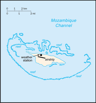
military garrison oversees a meteorological station. Southern Africa, island in the Mozambique
Channel, about one-third of the way between Madagascar and Mozambique
17 03 S, 42 45 E total: 4.4 sq
km territorial sea:
12 nm tropical low and flat lowest point:
Indian Ocean 0 m guano deposits and other fertilizers
periodic cyclones wildlife sanctuary no indigenous inhabitants possession of France; administered by a
high commissioner of the Republic, resident in Reunion Up to 12,000 tons of guano are mined per
year. 1 meteorological station none; offshore anchorage only 1 (2003 est.) total: 1 defense is the responsibility of France
claimed by Madagascar |
|
|